A positive outlook: changing industries and the world
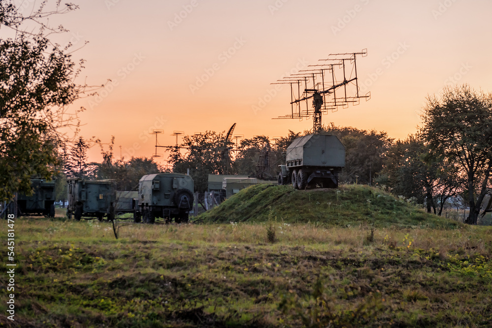
Originally built for the defence industry, Synth Maps has evolved to deliver significant benefits to a range of different industries – and the possibilities for how it can be used further are endless.
Beyond battlefield visualisation, Synth Maps can be used across defence to inform everything from local and international aid missions, to supporting smarter strategy in conflicts, that reduces injuries and fatalities.
Gathering intelligence
Drawing on uploaded and overlaid data, Synth can enable key personnel to analyse intelligence about the physical and human geography of an area. Its mobile accessibility means vast volumes of data can be processed quickly and used within the relative safety of military vehicles.
Situational awareness
Providing real-time situational awareness of remote locations or areas of conflict or risk, Synth allows military personnel to make informed decisions and respond quickly to changing conditions.
Environment
Using Synth to enhance environmental management
While the most obvious use of geospatial data analysis with regards to environmental management is planning more effective response to climate change, Synth Maps can play a significant role in many other ways.
Managing resources
Synth Maps can enable the identification, mapping and monitoring of resources such as forests, wetlands, and wildlife habitats. It can track changes in soil health or water quality, or the spread of invasive or introduced flora or fauna.
Disaster response
Mapping enables efficient and effective responses to natural disasters, from hurricanes to fires and even pandemics. It can also, through close monitoring and the rapid comparison and analysis of large data sets, help reduce their impact or even prevent them entirely.
Conservation strategies
By enabling the visualisation of important biodiversity hot spots or areas at-risk, and the monitoring of geographies that support endangered species, Synth Maps can help conserve and protect biodiversity.
Forensics
Using Synth to improve prosecution of crime
Though the use of geospatial data is still emerging in forensics, it is predicted to bring as much, if not more value to the space as development in DNA evidence has in the past, especially due to the diverse range of ways it can be leveraged to prevent and prosecute crime.
Reconstructing scenes
By ingesting data from different sources, Synth Maps can accurately present a detailed visual reconstruction of a crime scene – and show how it has changed over time to enable a more detailed assessment by experts.
Confirming witness accounts
Synth Maps’ viewsheds can be used to demonstrate a view from a specific location, to provide insights into what a witness or accused person may have been able to see from a specific vantage point, verifying their testimony.
Supporting monitoring operations
By using video, satellite and mobile data, overlaid to create one simple visualisation, Synth can help law enforcement track individuals and vehicles.
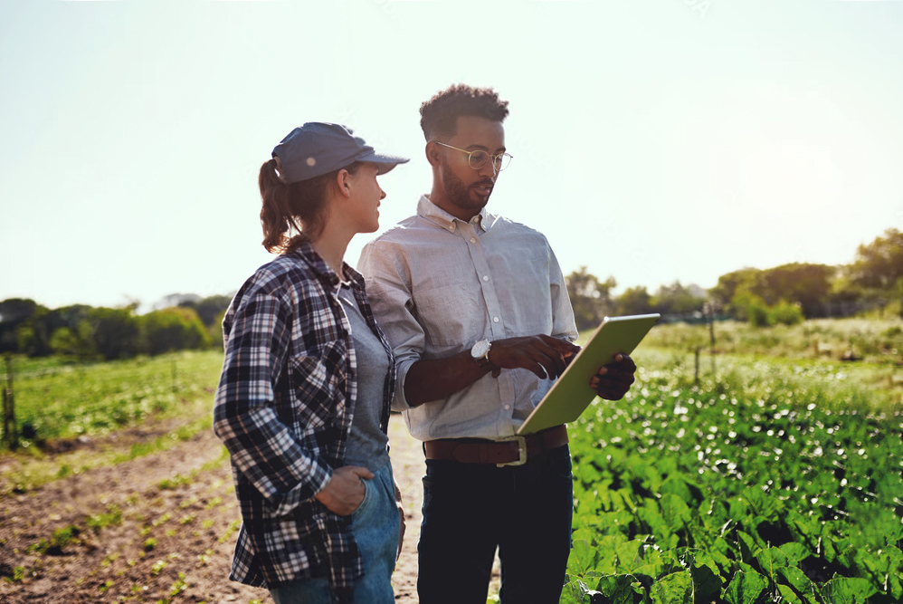
Horticulture
Using Synth to evolve horticulture
In horticulture, Synth Maps combines a bird’s eye view with a deep dive into the land and waterways to deliver insights that can be game changers in increasingly unstable and evolving situations.
Crop mapping
Using Synth Maps, distribution and productivity of crops can be captured and analysed, land usage reviewed, and irrigation systems planned and managed. This enables farmers to best take advantage of water resources and soil conditions.
Climate change response
Just as we need to plan the broader environmental response to climate change, farmers (and the researchers that inform them) need to do the same specifically for their land. Multi-dimensional data can be analysed in Synth Maps, to better understand the impacts, and plan effective adaptation strategies, at a local and more far-reaching level.
Disease management
Diseases and pests, especially in plague proportions, can bring entire countries to their knees. Synth Maps can enable scientists and agricultural bodies to monitor the spread of diseases and pests and inform quarantine and termination strategies.
Quotes
Client testimonial
Lorem ipsum dolor sit amet, consectetur adipiscing elit, sed do eiusmod tempor incididunt ut labore et dolore magna.
Leyla Boyer, CEOSpatial
Ut enim ad minim veniam, quis nostrud exercitation ullamco laboris nisi. Sed ut perspiciatis unde omnis iste natus.
Shiv Krause, Marketing DirectorPretzellab
Excepteur sint occaecat cupidatat non proident, sunt in culpa qui officia deserunt mollit anim id est laborum. Sed ut perspiciatis.