Our world is continuously changing around us, and for many industries, the ability to capture a snapshot in time, and then another to compare it to, informs your understanding of an environment as it was, is and could be.
Synth recognises that to these industries accurate and accessible geospatial data analysis is critical. We have built our platform to work with data capture systems to make curation uncomplicated, and analysis effortless.
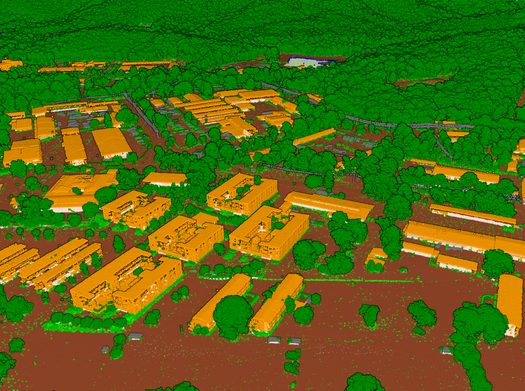
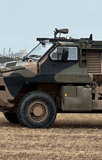
In an industry where every decision counts, especially to those in the field, Synth Maps provides access to the geographic data that drives informed military planning and decision making.
Enabling a clear visual representation of complex data, Synth Maps allows personnel to analyse data and identify patterns and relationships important to achieving defence objectives, improving operational readiness, and minimising casualties.
It delivers a common operational picture that can be shared among units and across key government or contracted organisations, to build situational awareness and ensure all involved have a mutual understanding of the environment.
This increased clarity and secure communication can optimise military spend and efficiency, while saving lives and securing assets.
As science has improved, so too has our awareness of the way the environment is naturally evolving around us and the way it is changing in response to our own actions.
Never in our history has understanding and harmonising with our environment been so important to safeguarding our lives for years to come.
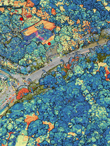
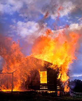
Providing the tools to monitor and assess environmental changes, Synth Maps’ unique capacity to ingest and display large volumes of multi-dimensional data from various sources creates an opportunity to evaluate the environment over time.
It helps you assess everything from land cover and use, to identifying high-risk areas for soil erosion, pollution, or natural disasters such as flooding or fires.
Taking it a step further, beyond informing prevention strategies and sustainable development, Synth can provide the important insights and information used to plan emergency response more effectively.
The way we prosecute criminal cases has changed markedly over recent decades as technology has increased access to quality evidence.
The introduction of geospatial mapping with Synth Maps will once again revolutionise forensics, by enabling law enforcement to move beyond 2D photos of crime scene elements, and completely reconstruct crime scenes in a 3D interactive environment, for analysis and presentation to juries.
Data captured from a variety of sources, from video surveillance to mobile imagery, will be layered to provide insights into the movement of key people, allow vehicle tracking, and monitoring of how suspicious locations have changed over time.
An emerging tool designed to reduce crime and support the prosecution of criminals, Synth Maps will enhance and advance law enforcement.
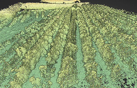
Nurturing a more sustainable horticulture approach
As climate change continues to impact temperature and precipitation patterns, and soil and water conditions change, farmers face almost unprecedented challenges as they work to feed our growing population.
Synth Maps helps horticultural researchers and growers map small and large areas, overlaying data from various sources, to better understand plant health and what affects it.
By comparing past to current data, farmers can track crop growth against trends and make more informed decisions about the infrastructure and labour they require to produce efficiently.
Expanding the mapped space and reviewing against other areas can help to identify ideal growing conditions, and plan crops to maximise yield.